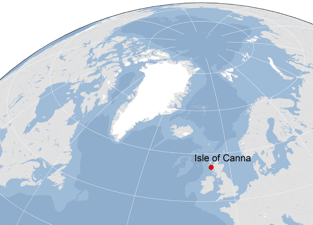
Canna (57.059°N x 6.559°W) is a small island (8 km x 2 km) on the west coast of Scotland. Much of its shoreline is made up of steep cliffs of basalt rock, which on the north side of the island rise to 200 m.
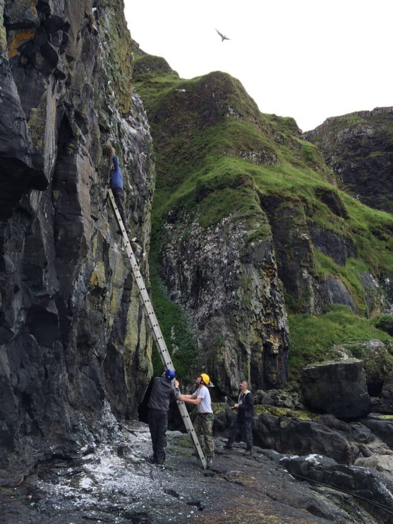
Below the main cliffs lies a raised wave cut platform, covered in boulder screes, and below it the current sea cliff, roughly 20m high. This is where the bulk of Canna’s seabirds breed. Seabird numbers peaked in the late 1980s to early 1990s since when there have been some major declines. Recently, partly as a result of a rat eradication project some of these declines have been reversed.
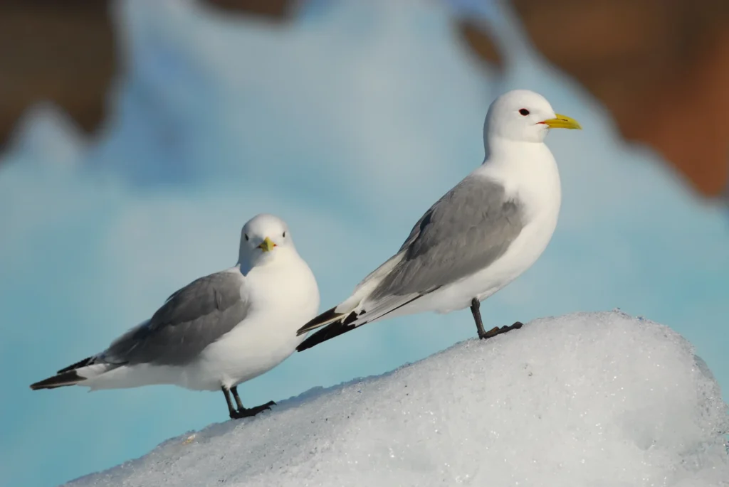
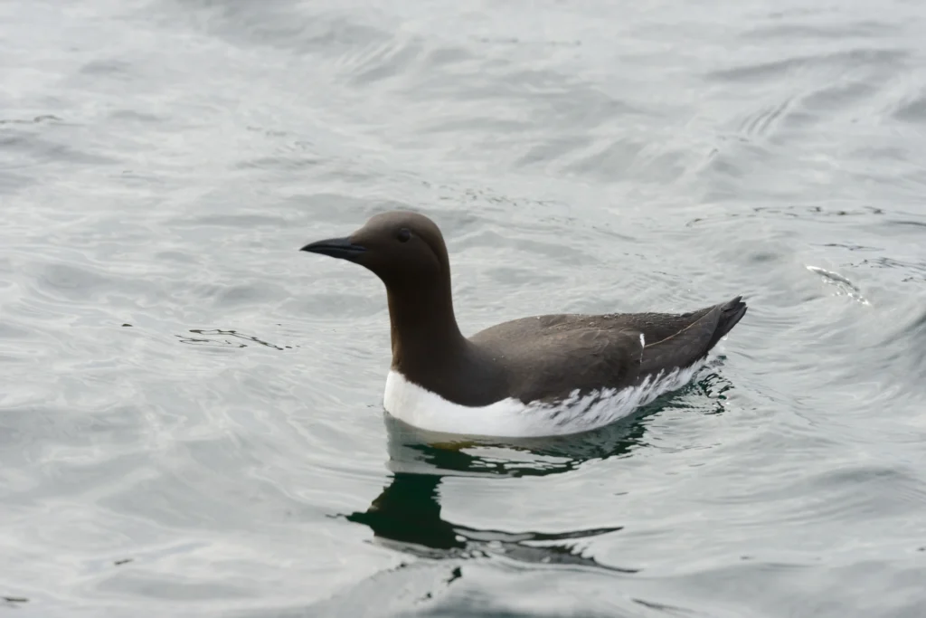
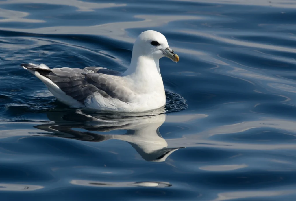
Currently Canna supports 130 pairs of northern fulmar, 440 pairs of European shag, 1,500 pairs black-legged kittiwake, 2,000 pairs of common guillemot, 500 pairs of razorbill and 2,000 Atlantic puffin. There are also small colonies of gulls and great skuas.
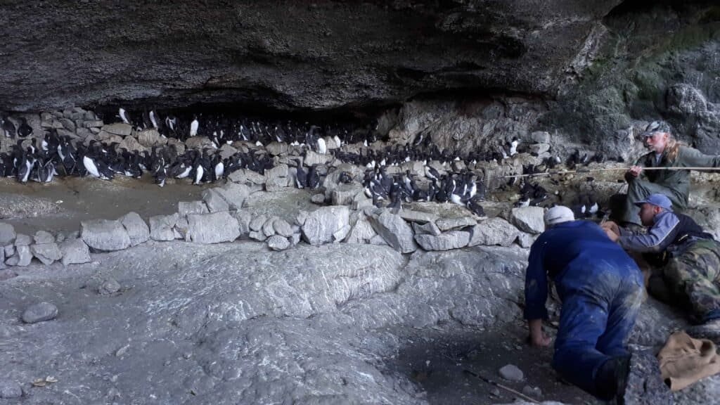
The island’s seabirds have been monitored annually since 1969 by members of the Highland Ringing Group, one of the longest running seabird monitoring programmes conducted solely by amateur volunteers. In 2019 Canna became a SEATRACK location with geolocators being deployed on northern fulmars, black-legged kittiwakes and common guillemots. Data from geolocators, sourced by Marine Scotland, and deployed on Canna since 2015 have been shared with SEATRACK.
Seatrack partner
Bob Swann
Canna Ringing Team, Highland RG
Andrew Call
Canna Ringing Team, Highland RG