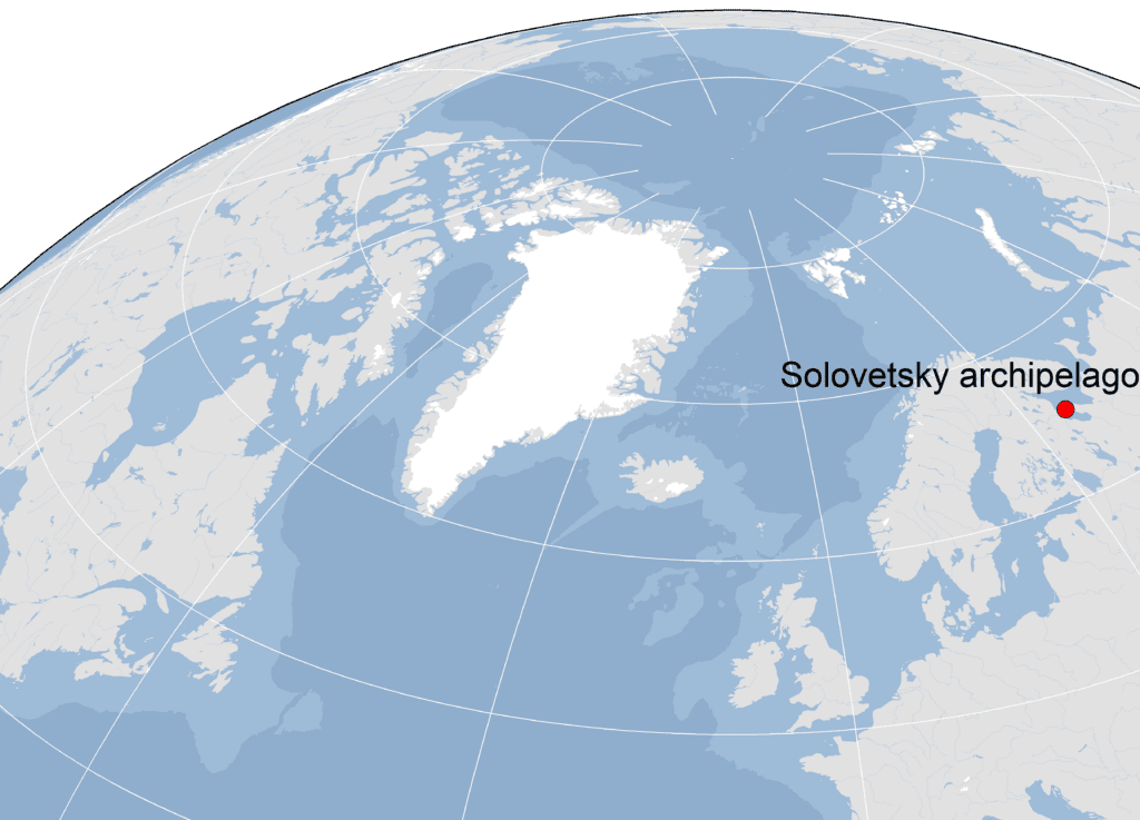
Onega Bay is the largest and the southernmost of the bays in the White Sea, located between 63°50` – 65°13` N and 34°50` – 37°40` E. The length of the bay from the north-west to south-east is about 175 km, maximum width – about 100 km.
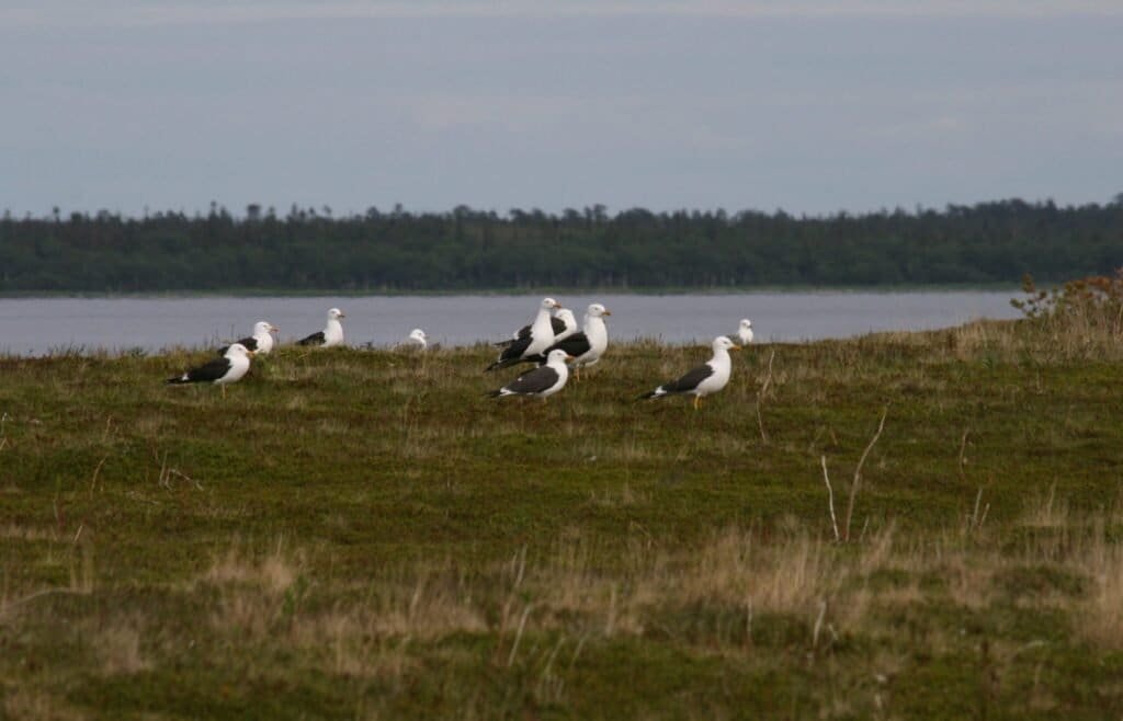
The bay area is approximately 12.3 thousand square kilometers and the total number of islands exceeds one thousand, most of which smaller than 0.1 km2. Vegetation communities are similar to the regions situated further north, such as elfin woodlands and marine tundra, and include pine-birch and spruce-birch forests.
Some of the islands are protected by three nature reserves and have been registered as Important Bird Area and Ramsar site “Islands in Onega Bay, White Sea”.
In 1987 the large-scale counts of seabirds on Solovetskiy Islands and survey of the islands located in the bay outside the archipelago was launched. Seabird numbers are monitored annually on the Solovetskiy Islands and on the adjacent archipelagoes within the bay but due to the size of the area and number of island within it only some islands can be surveyed each year.
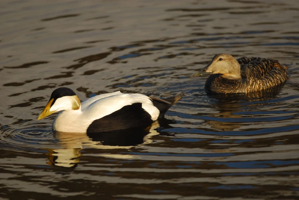
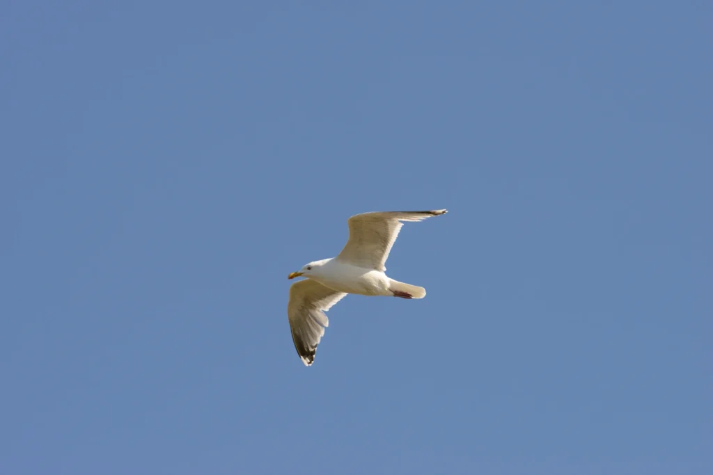
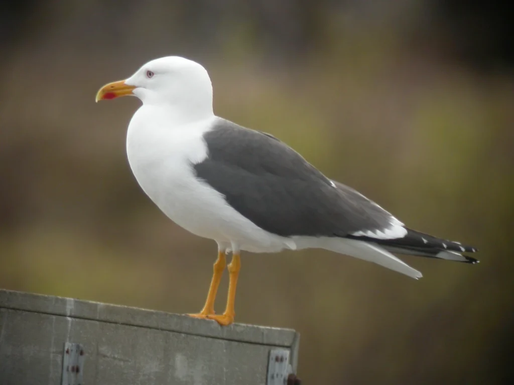
The breeding population of common eiders is estimated to be 4300-4500 pairs, herring gull – 3500-3700 pairs, Lesser black-backed gull – 2200-2400 pairs, arctic Tern – 27000-28000 pairs and common gull – 3500-3700 pairs.
The migration of Lesser Black-backed gulls using satellite transmitters was studied in 2009. Onega Bay has been a SEATRACK locality since 2014.
Notice: Russian field sites are not part of SEATRACK phase III.
Site coordinator

Grigory Tertitski
Institute of Geography, Russian Academy of Sciences
Data availability


