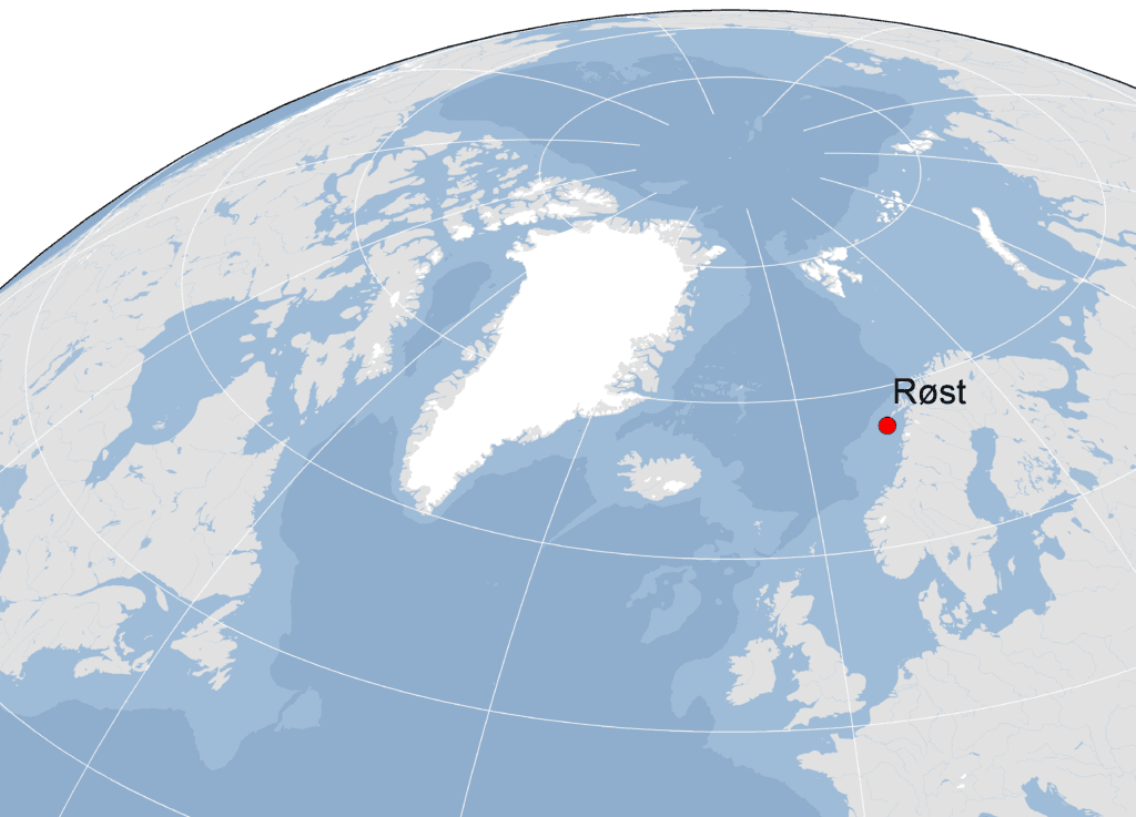
The Røst municipality is a cluster of many small islands forming the south-western tip the Lofoten archipelago and situated approximately 100 km west of mainland Norway. The total areal of these islands is 10.4 km².
The largest island in the Røst archipelago (67.447°N x 11.910°E), Røstlandet, houses a small fishing village with approximately 550 inhabitants and a wetlands nature reserve established in 1997. South west of Røstlandet lies the Røst Islands Landscape Protection Area covering 70 km².

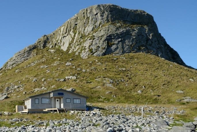
It was established in 2002 and became a RAMSAR site in 2011. It includes the magnificent bird-cliffs of Vedøy, Storfjellet, Ellefsnyken, Trenyken and Hernyken and the famous Skomvær lighthouse farthest out. Ellefsnyken, Trenyken and Hernyken further comprise the Nykan Nature Reserve, also established in 2002. Røst is an outpost surrounded by the Norwegian Sea, but the archipelago stands on the shelf in shallow waters with hundreds of small islets and skerries and strong tidal currents.
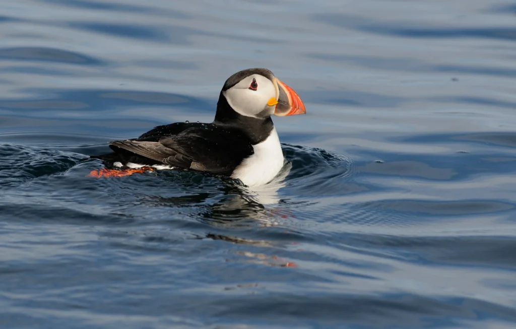
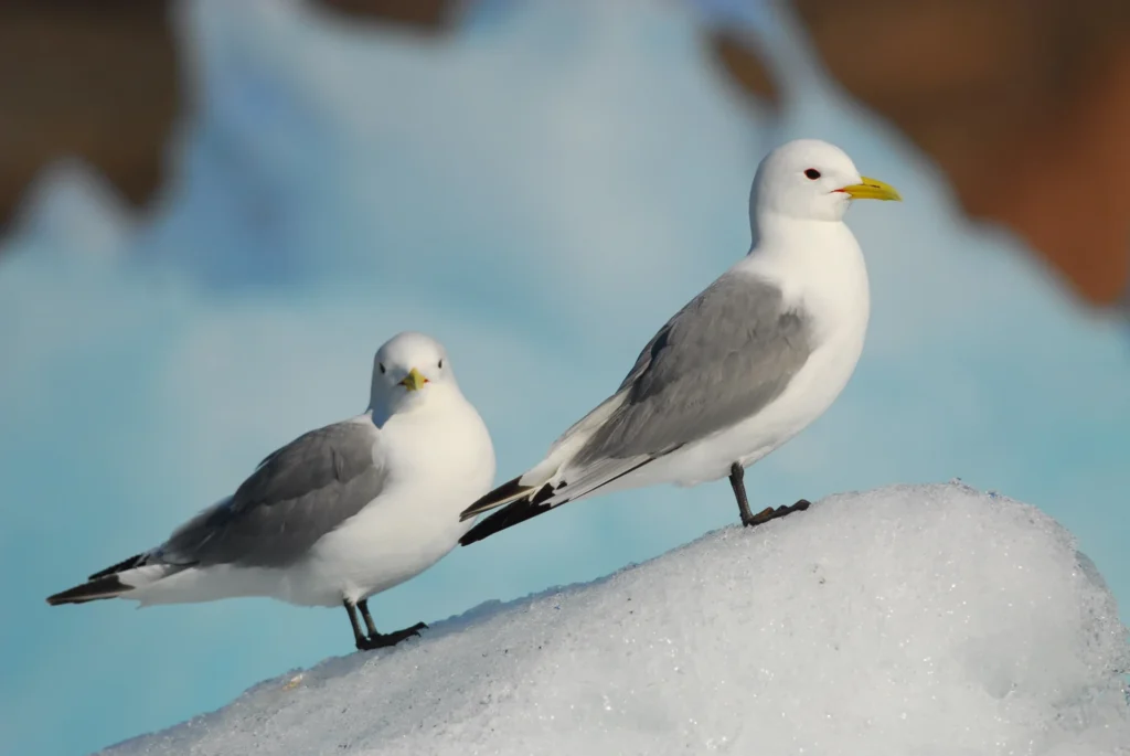
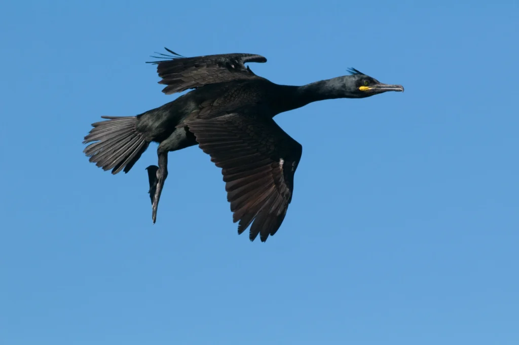
Seabirds have been studied annually on Røst since the late 1950s, which has resulted in some of the longest time-series of seabird demography in Norway. The monitoring on Røst was integrated as a SEAPOP key site from 2005. GLS studies were started in 2006 (shags), 2008 (kittiwakes) and 2012 (puffins) and continued in SEATRACK from 2014. Current research and monitoring encompasses 16 species, of which 13 are considered key species within the SEAPOP program.
Seatrack partner
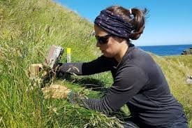
Annette Fayet
Norwegian Institute for Nature Research

Tycho Anker-Nilssen
Norwegian Institute for Nature Research
Data availability


