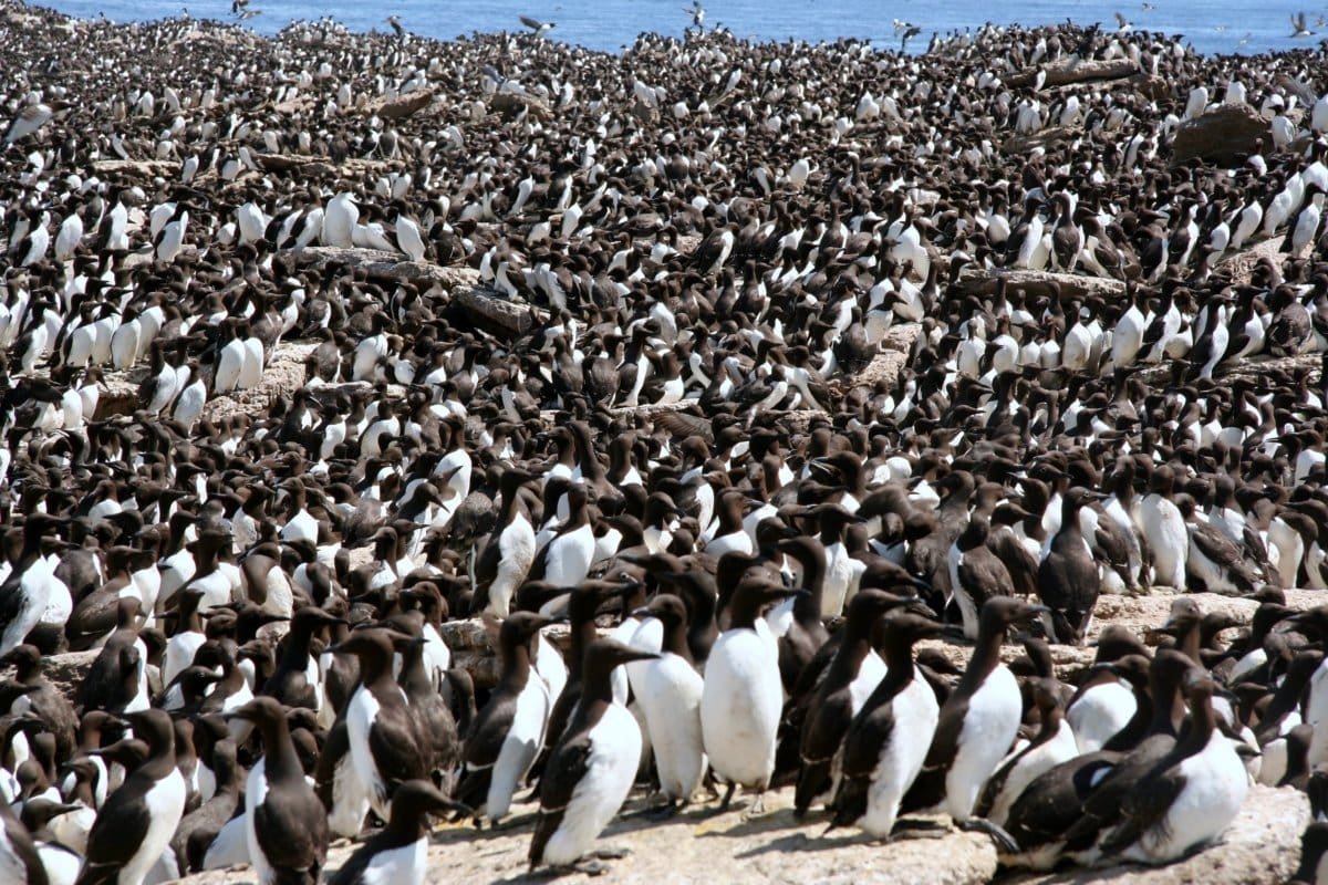
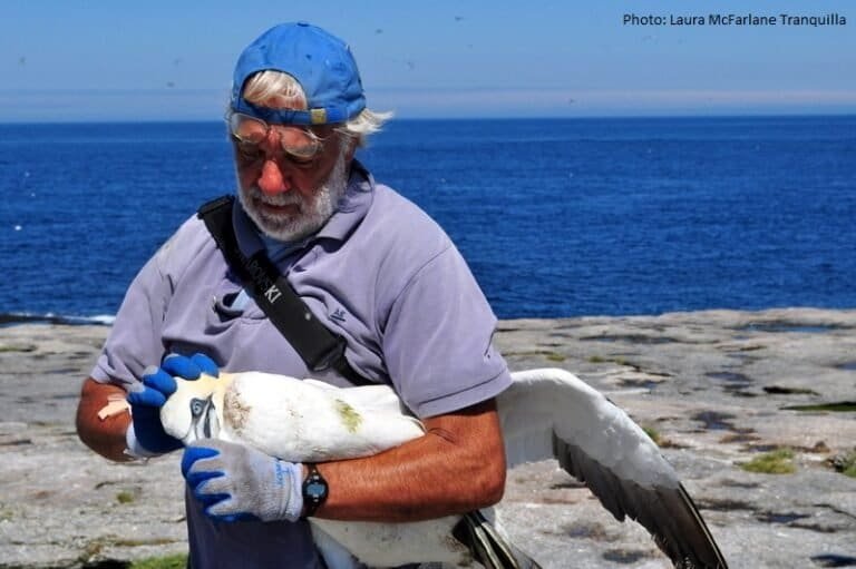
Funk Island (49.757°N x 53.181°W) was a SEATRACK location during phase II of the project. Deployment of GLS loggers on Common guillemots took also place pre-SEATRACK but shared with SEATRACK subsequently.
– Description to be added
Watch a video of Funk Island (youtube)


Seatrack partner

William Montevecchi
Memorial University of Newfoundland
Data availability


