
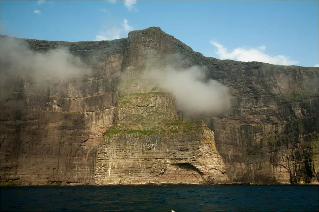
The Faroe Islands (61.950°N x 6.798°W) are situated in the North-East Atlantic and consists of 18 islands and approx. 800 islets and skerries, with a total area of 1,399 km2. With 1,117 km of coastline, much of it cliffs, and surrounded by productive seas the Faroes has become home to large populations of various species of seabirds.

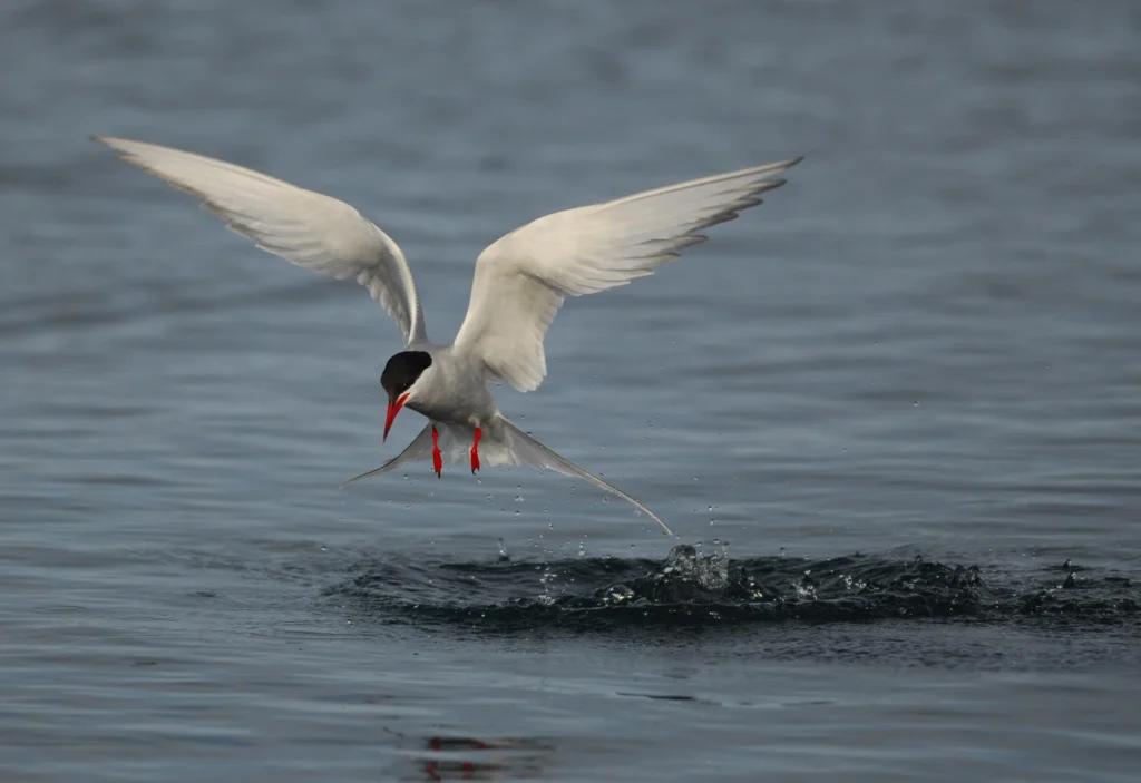
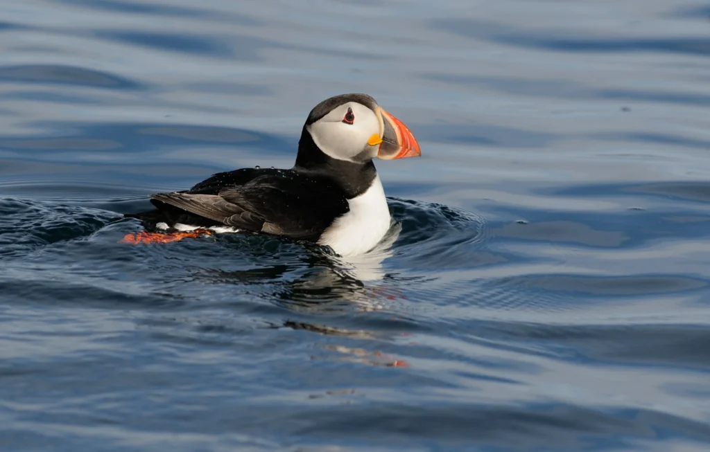
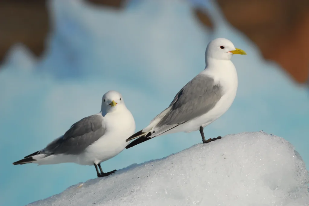
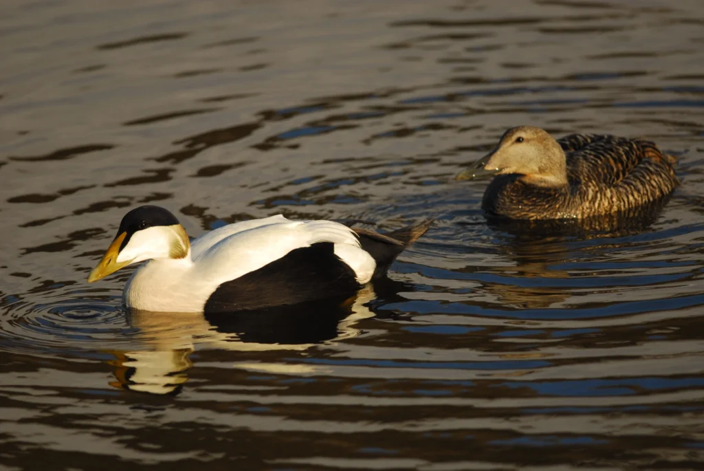
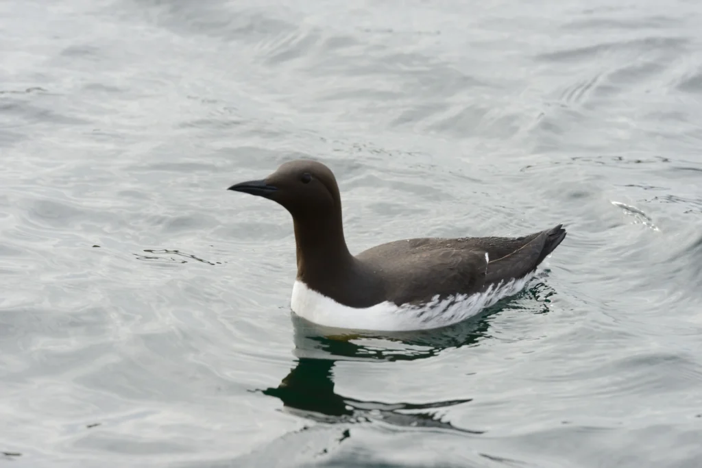
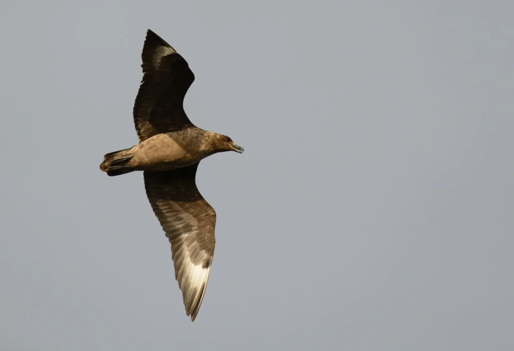
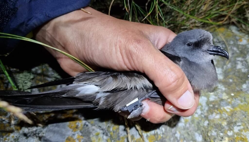
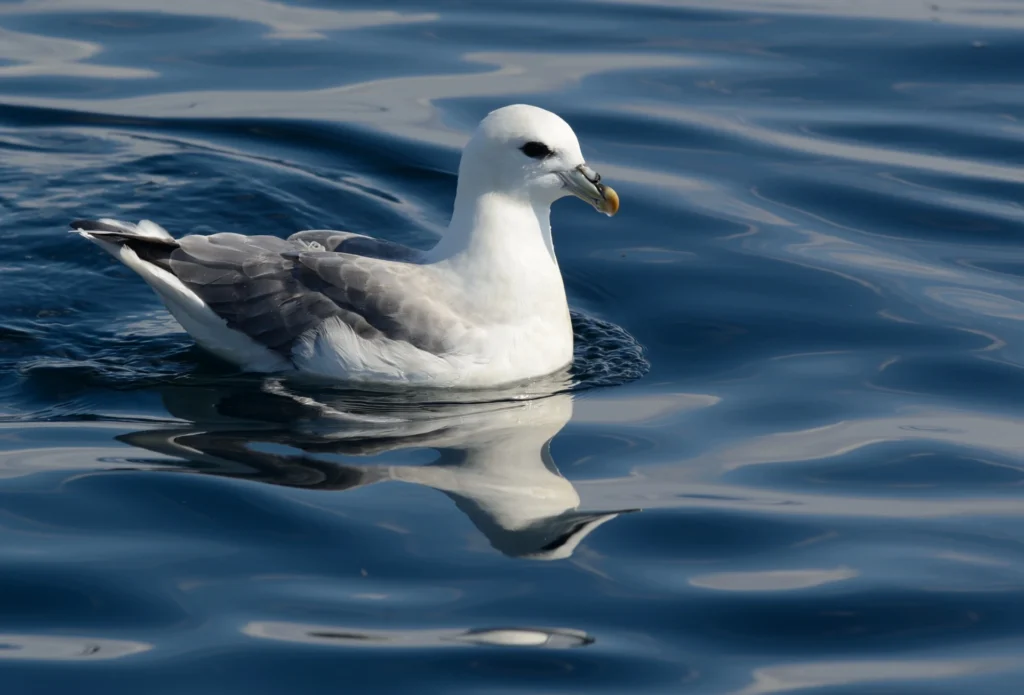
The Faroe Islands became part of the SEATRACK in 2014. Originally 8 species were included in the tagging scheme: Atlantic puffin, black-legged kittiwake, common guillemot, northern fulmar, European shag, lesser black-backed gull, herring gull and the common eider. But because of the required effort the European shag was dropped already after the first year followed by the lesser black-backed gull, herring gull and common guillemot the following year and it was decided to focus on the 4 species Atlantic puffin, black-legged kittiwake, northern fulmar and the common eider. After 2023, were the species Arctic tern, great skua and Leach’s storm petrel also deployed with GLS loggers.
The main tagging areas on the Faroes are Skúgvoy (Atlantic puffin and black-legged kittiwake), Mykines (northern fulmar) and Kirkjubøhólmur (common eider).

Seatrack partner

Bergur Olsen
Faroe Marine Research Institute

Janus Hansen
Faroe Islands National Museum

Jóhannis Danielsen
Faroe Marine Research Institute
Jón Aldará
Faroe Islands National Museum

Sjurdur Hammer
University of Faroe Islands
Data availability